Open Data Coastal Monitoring WebGIS Tool
IT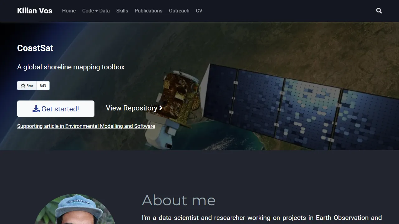
What is kvos.github.io?
This open-source project provides a Coastal WebGIS for coastal monitoring. It displays satellite-derived shoreline timeseries from around the world using open data. The project supports the CoastSat toolbox.
Key Features
- Satellite-derived shoreline timeseries
- Global coastal monitoring data
- Open-source CoastSat toolbox support